
Hydrographic Surveying

Oceanography

Environmental Monitoring

Research Applications

Maintenance Activities
Grand island
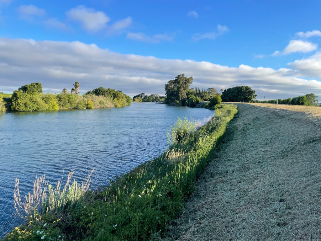
Levee Scour
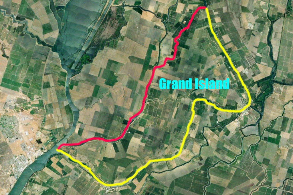
Sacramento River and Steamboat Slough
Grand Island as defined by the Sacramento River in yellow and the Steamboat Slough in red
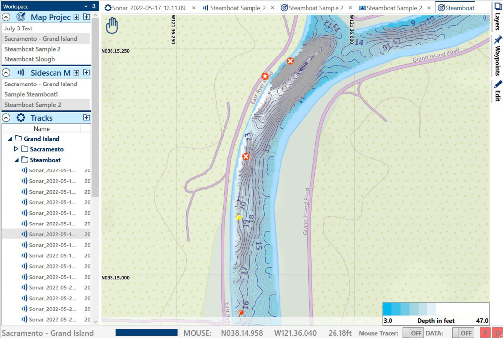
Bathymetry map
specifically designed to highlight areas where there is a quickly changing bottom depth
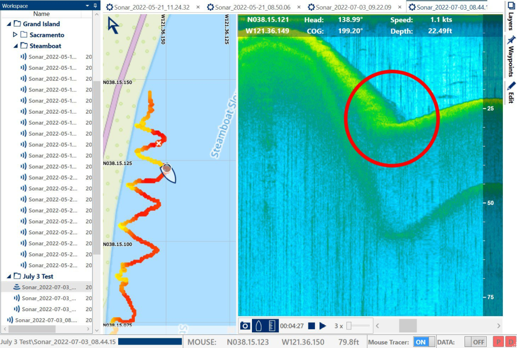
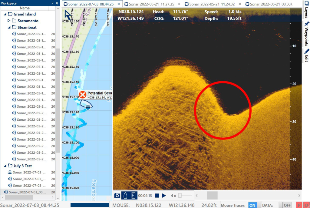
Cross-section of the levee wall
The potential scour signature is circled in RED
Data analysis
All measurements correlate with the pushbroom transducer and thus verify the "dip" at the levee toe as an area of concern.