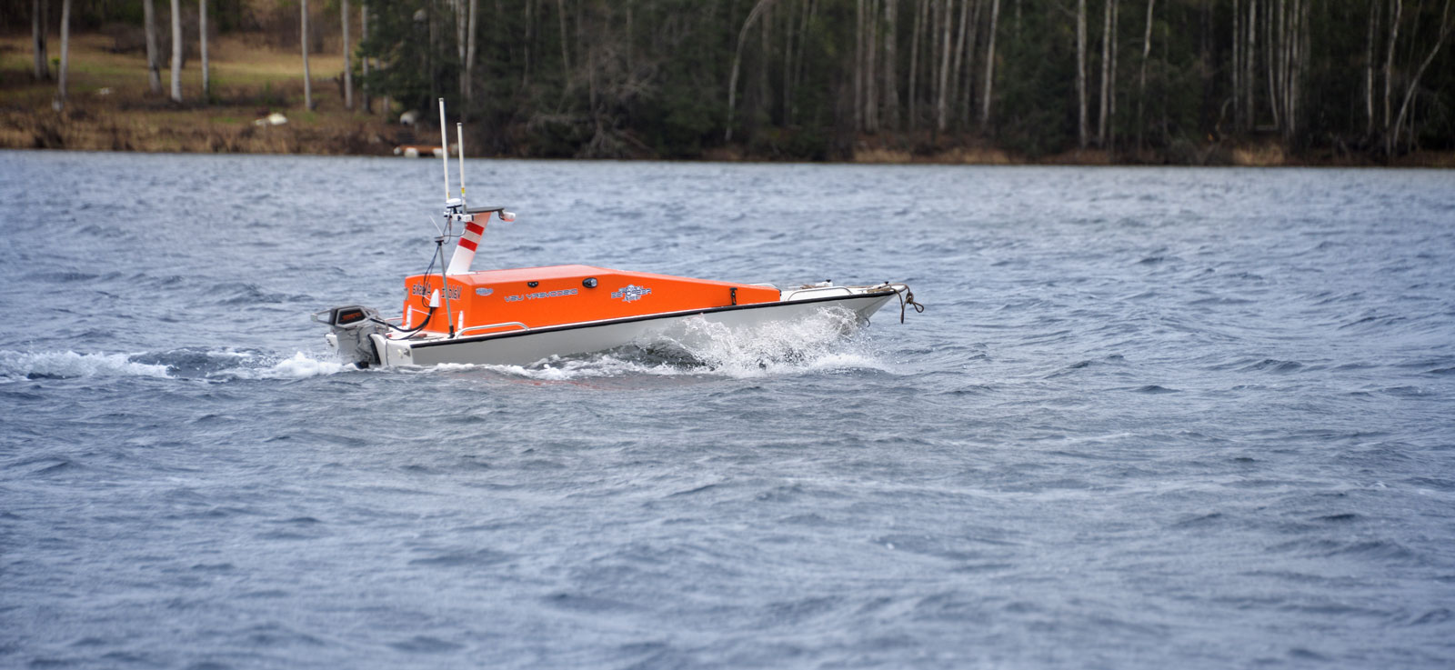
Otolith Technologies focuses on developing, manufacturing, and deploying autonomous or remotely operated vessels that perform various tasks related to mapping and studying bodies of water. These vessels are typically equipped with advanced sensors, sonar systems, GPS, and data collection tools, enabling them to conduct detailed surveys of underwater topography, sediment layers, and aquatic environments.
We focus on
Hydrographic Surveying
Mapping the seafloor, riverbeds and lakes provides data useful for nautical charting, dredging operations, infrastructure development, and environmental monitoring.
Autonomy and Remote Operation
The development of highly autonomous systems allows USVs to operate with minimal human intervention, enhancing efficiency and safety, especially in difficult or hazardous environments.
Advanced Sensor Integration
Multi-beam and single-beam sonar, Radar, LiDAR, turbidity, SST, cameras and other advanced sensors provide high-resolution data for precise mapping and in-situ monitoring.
Data Processing and Analysis
Post-processing and data analysis of sonar data and imagery reveals more information than can be observed in real time during a survey. We process the collected data into a format usable by our clients.
Versatility and Customization
The Discovery was designed to be versatile, allowing for customization depending on the specific needs of the survey, such as different types of sensors, endurance, and range.
Industry Applications
Our services are relevant to various industries, including hydrographic surveying, oil fields, environmental monitoring, research applications, and maintenance activities.
